

Services
Accurate. Bid-Ready. Delivered On Time.
At Apex Sitework Takeoffs, we provide precision-driven quantity takeoffs that help contractors
bid with confidence — without missed quantities, guesswork, or deadline stress.
Every project is digitally modeled, verified, and delivered in an organized format ready for
competitive bid submission.
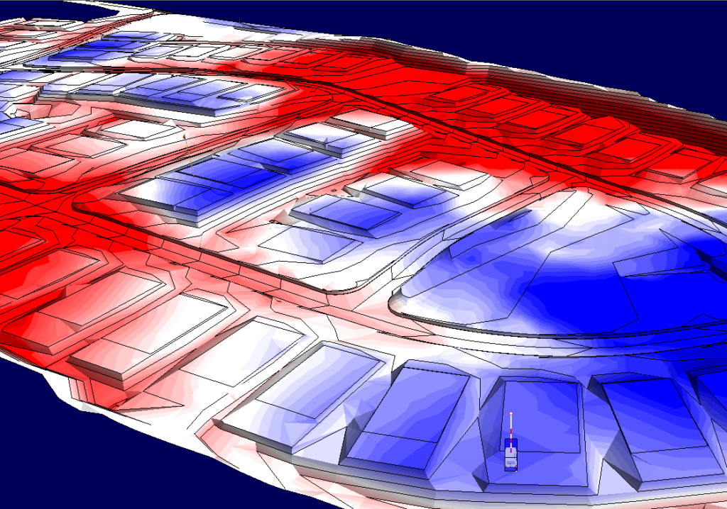
Earthwork & Grading Takeoffs
Earthwork drives cost. We model it correctly.
Using fully digitized terrain models, we calculate accurate cut/fill volumes and balance reports so
you can price confidently and avoid costly quantity errors.
Included Services:
- Topsoil stripping & respread
- Cut & Fill volume calculations
- Balance reports & mass
- 3D terrain modeling
Deliverables
- 3D terrain & cut/fill model
- Volume summary report
- Balance calculations
- Google Earth KMZ overlay file
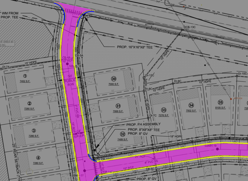
Utility & Material Takeoffs
Underground quantities and surface materials must be exact. We extract precise linear footage,
structure counts, and material totals directly from the plan set.
Scope Includes:
- Storm Drain
- Sanitary Sewer
- Water Main
- Concrete, Asphalt & Paving
- Curb & Gutter
- Structure & Fitting Counts
Key Outputs:
- Organized utility summaries
- LF breakdown by size and type
- Material totals (LF, EA, CY as applicable)
- Clean, structured quantity reports
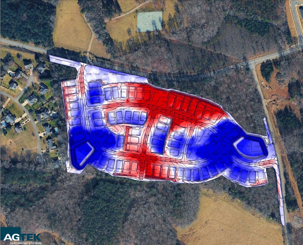
Full-Scope Sitework Takeoff
For full civil and sitework bids, this is the service most contractors choose.
Scope Covers :
- Demolition & clearing/grubbing
- Erosion & sediment control
- Earthwork & grading volumes
- Storm, sewer, water and utilities
- asphalt, concrete, curb & gutter
This comprehensive option combines earthwork, utility and surface item quantities so your bid
reflects the complete project scope.
WHY APEX:
Every project is modeled using industry-leading AGTEK software and Bluebeam to ensure
precision, clarity, and complete quantity verification.
AGTEK is widely recognized as the industry standard for earthwork modeling and cut/fill
analysis, allowing us to generate accurate volume calculations from fully digitized terrain models
— not scaled approximations.
The result is reliable data you can bid with confidence.
Combined with Bluebeam for plan review and cross-verification, this workflow ensures:
- Digitally modeled terrain.
- Accurate cut/fill and balance reporting
- Clear, organized quantity summaries
- Reduced risk of missed scope items